Setting off on The Pamir Highway
The Pamir Highway
The M41 is better known as The Pamir Highway. It was built by The Soviet Union between 1934 and 1940. It passes through Tajikistan and Kyrgyzstan providing access to the region of Badakhshan and thus the border with Afghanistan. Routes through the challenging terrain of the Pamir Mountains were limited. Much of the M41 was built following old “Silk Route” tracks that traders had been using for more than 2000 years. Indeed, the 13th century explorer Marco Polo is purported to have travelled along this route in his journey to Cathay (China).
Travelling The Pamir Highway
I had planned travelling The Pamir Highway in 2018 and finally made the journey the following year. With plenty of time on your hands and a lot of patience, it is possible to travel the Pamir Highway with public transport and the odd truck. I didn’t have the luxury of that amount time for this trip and looked instead towards the few travel companies that run four-wheel-drive trips into the Pamirs. Some companies I received no reply from, but most were either not running trips or only with a large enough prearranged group. Indeed, the company I went with was the only one that I found which was prepared to put a group together for individual travellers. The company put me in touch with two other travellers who wanted to do the trip, starting in Tajikistan – great news!
A Rough Start
Normally, when I travel in Asia I take a fair amount of caution when eating out. Generally, I try to avoid eating uncooked food, such as salads, or drinking anything that is not bottled, freshly squeezed or boiled. I returned to a well-recommended and good Arabic restaurant in Dushanbe and threw caution to the wind. I ordered favourite dishes tabbouleh (a parsley, tomato, onion, mint and bulgur wheat salad) and hummus (chick pea and tahini pate) with a carrot juice to wash it down. And boy did I pay for it! I turned in early to be well rested and ready for a crack-of-dawn start. My supper seriously disagreed with me, and I spent several hours after midnight bringing it all up. So no sleep, a night being sick, and a ten-day off road trip ahead of me. I was determined to continue with my plan and somehow scraped myself out of bed to meet my travel companions.
The food poisoning the night before set me off on a poor footing, and travelling long hours on basic off-road tracks made it hard to recover. Fortunately, we had a sturdy and comfortable Toyota Land Cruiser for the journey. I was having to jump out of the car every few minutes and with little warning; having to go on the side of the road squashed any sense of dignity I had. The driver and my companions were very patient!
Looking back, I love how quickly the discomfort and illness that can accompany travel fades into the background, and for this journey what remains is the memory of my supportive comrades, kindly people on the way, and some of the most spell-binding scenery I have ever seen.
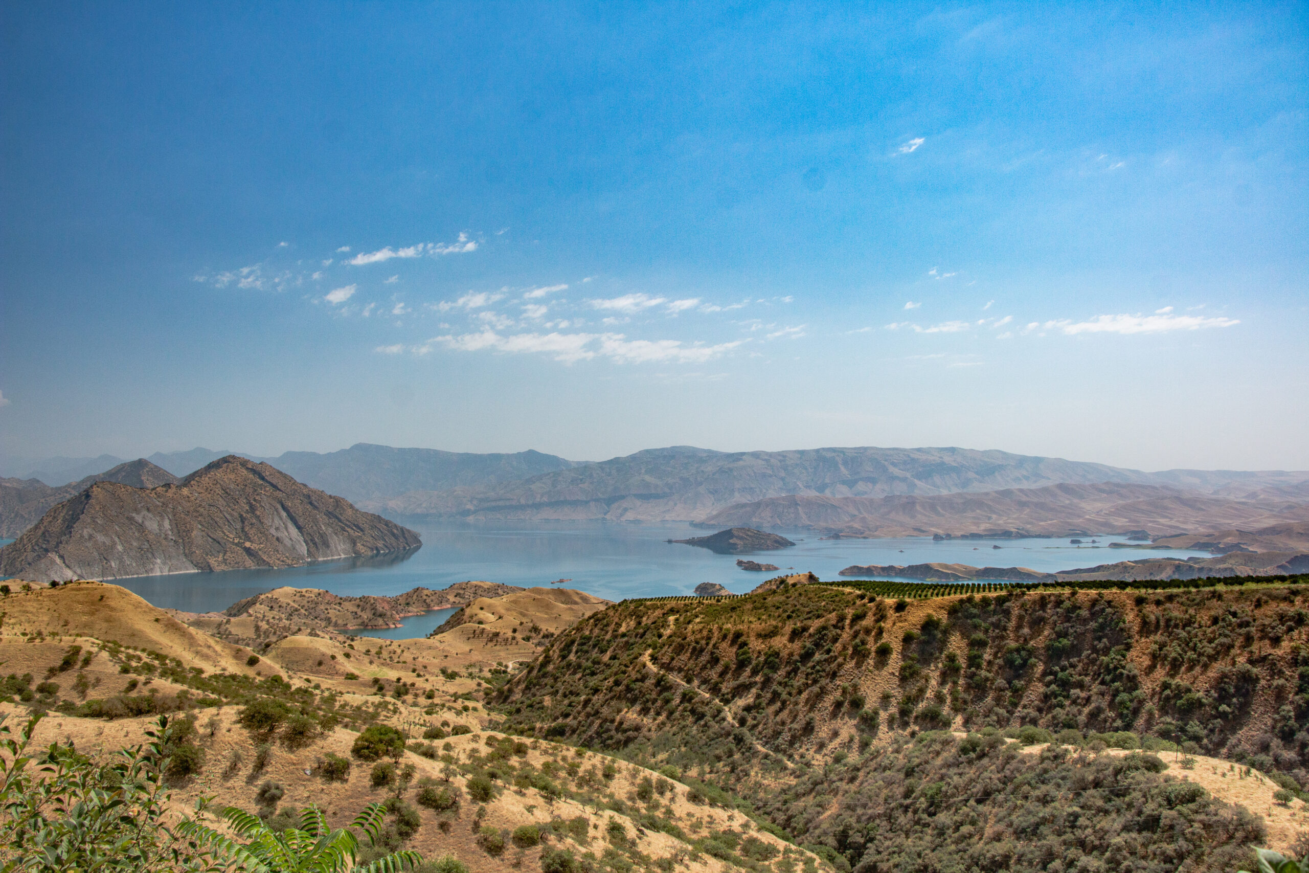
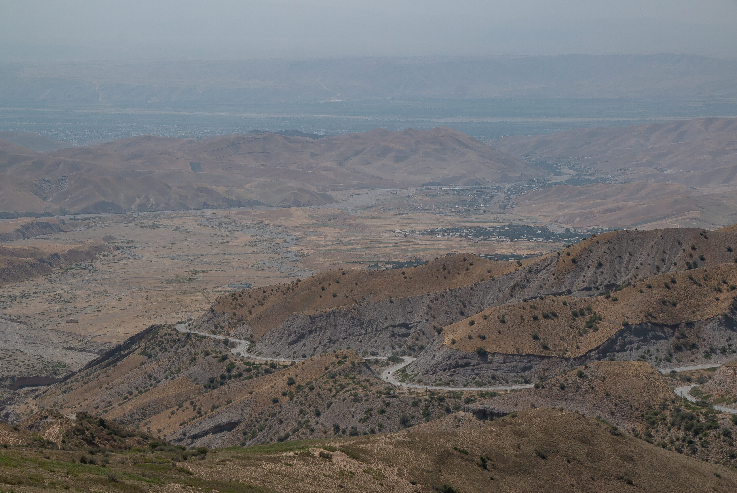
The first four hours were mostly on a decent highway with a couple of picturesque stops. The impressive views of Nurek Lake Reservoir are only an hour and a half out of Dushanbe. The mountain breeze was a good pick-me-up.
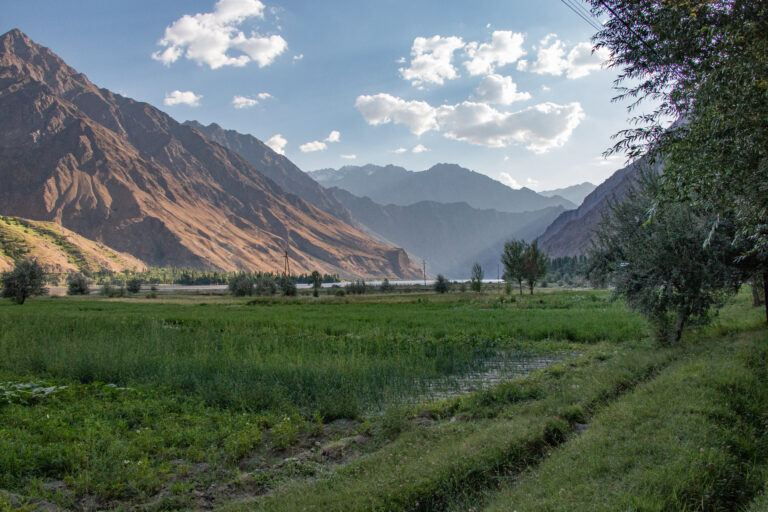
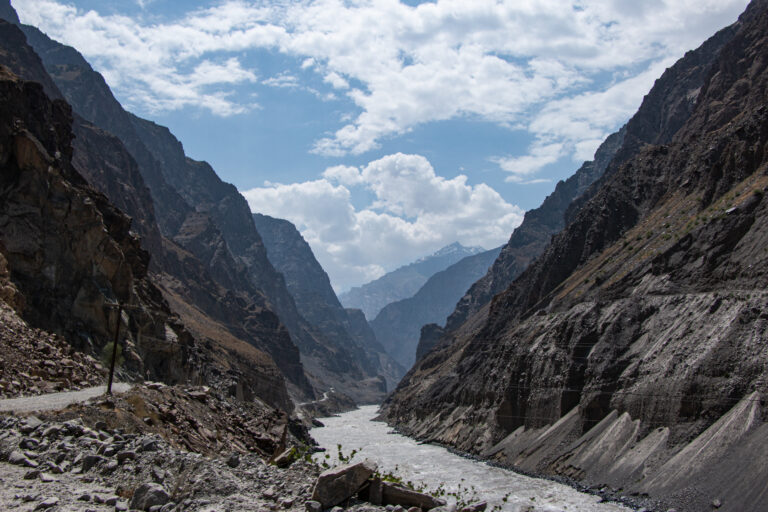
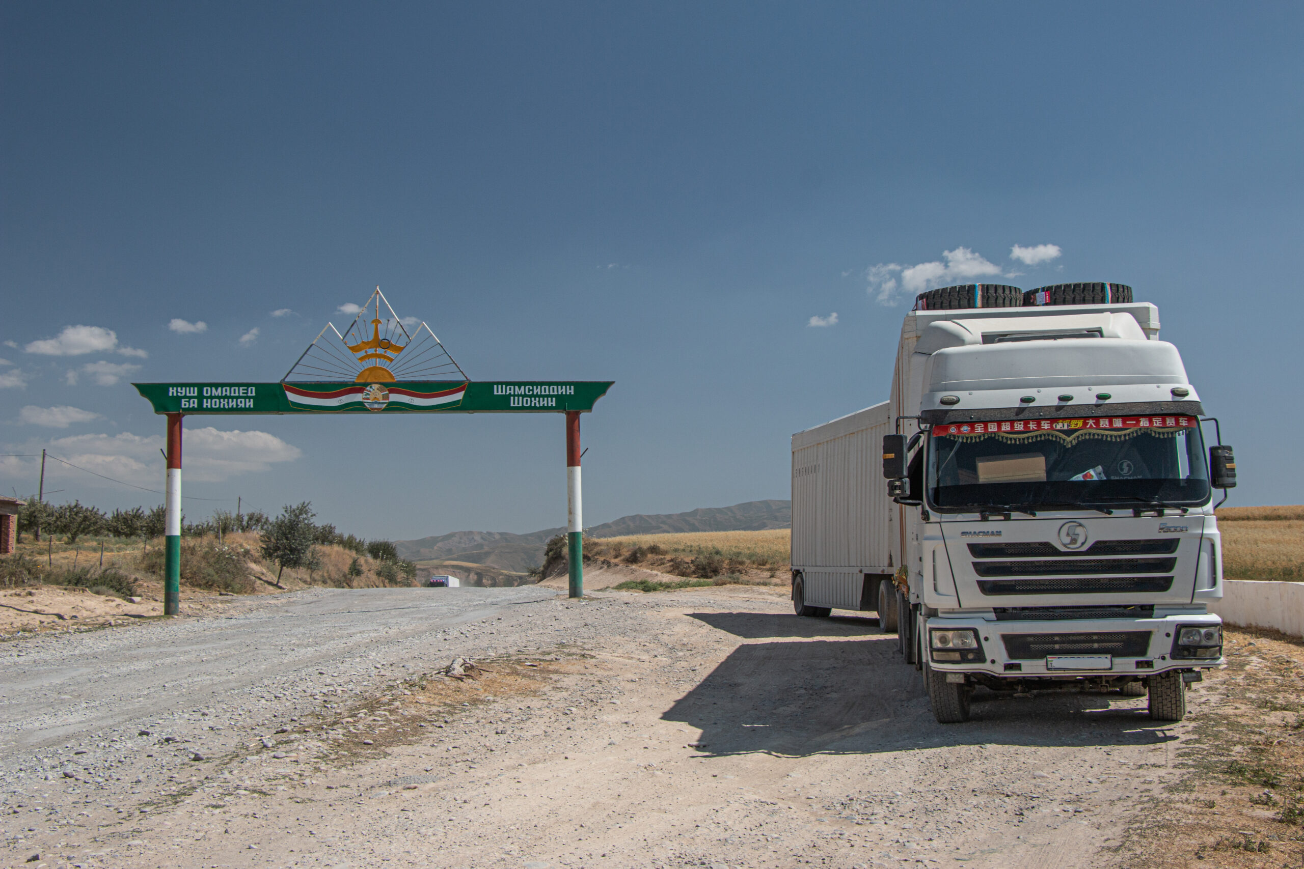
Eventually we found our way onto gravel roads as we approached the Shurabad Pass which marks the gateway to the Pamir Mountains and the Panj River. Following the narrow river for much of the next few days, we were within a stone’s throw of Afghanistan.
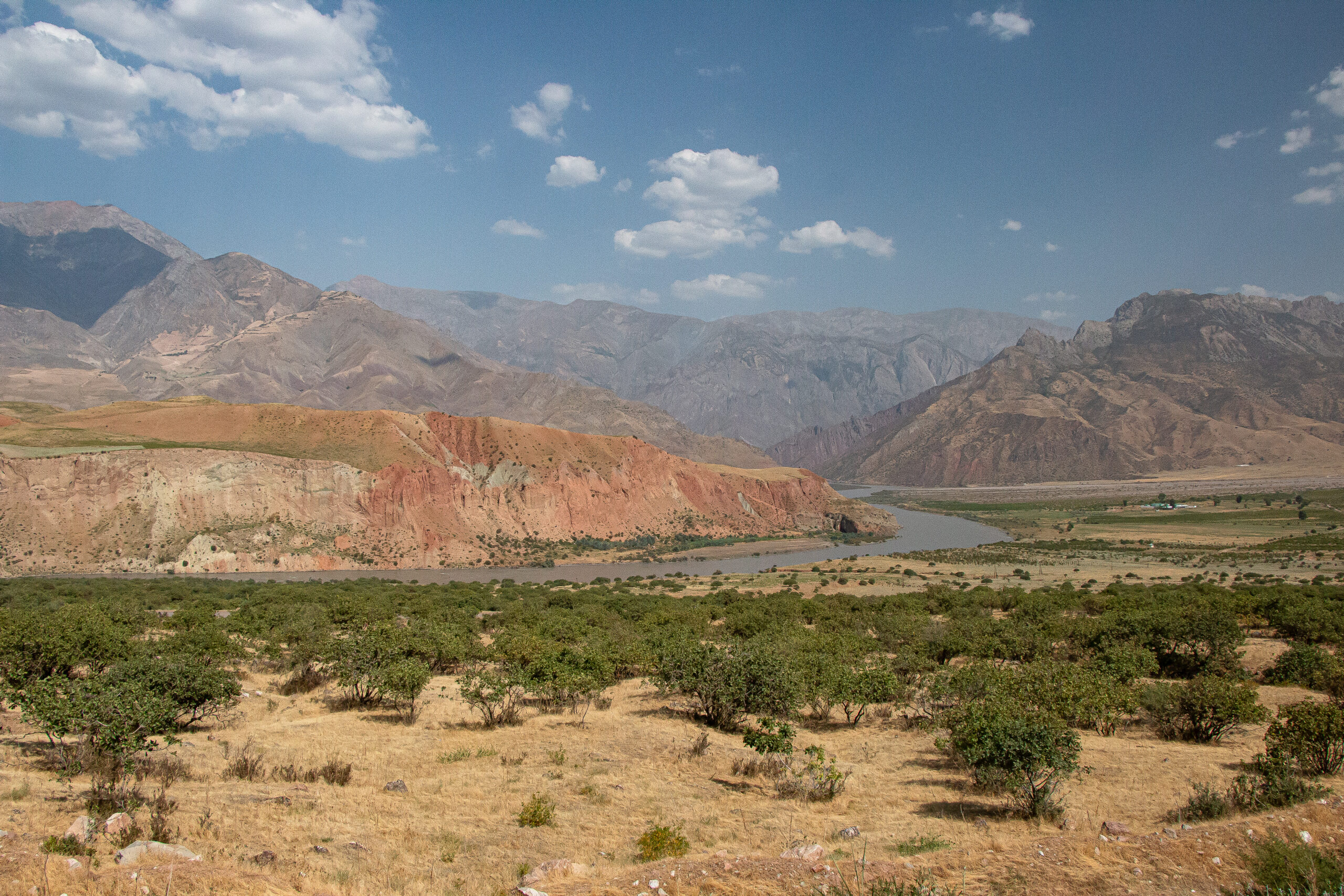
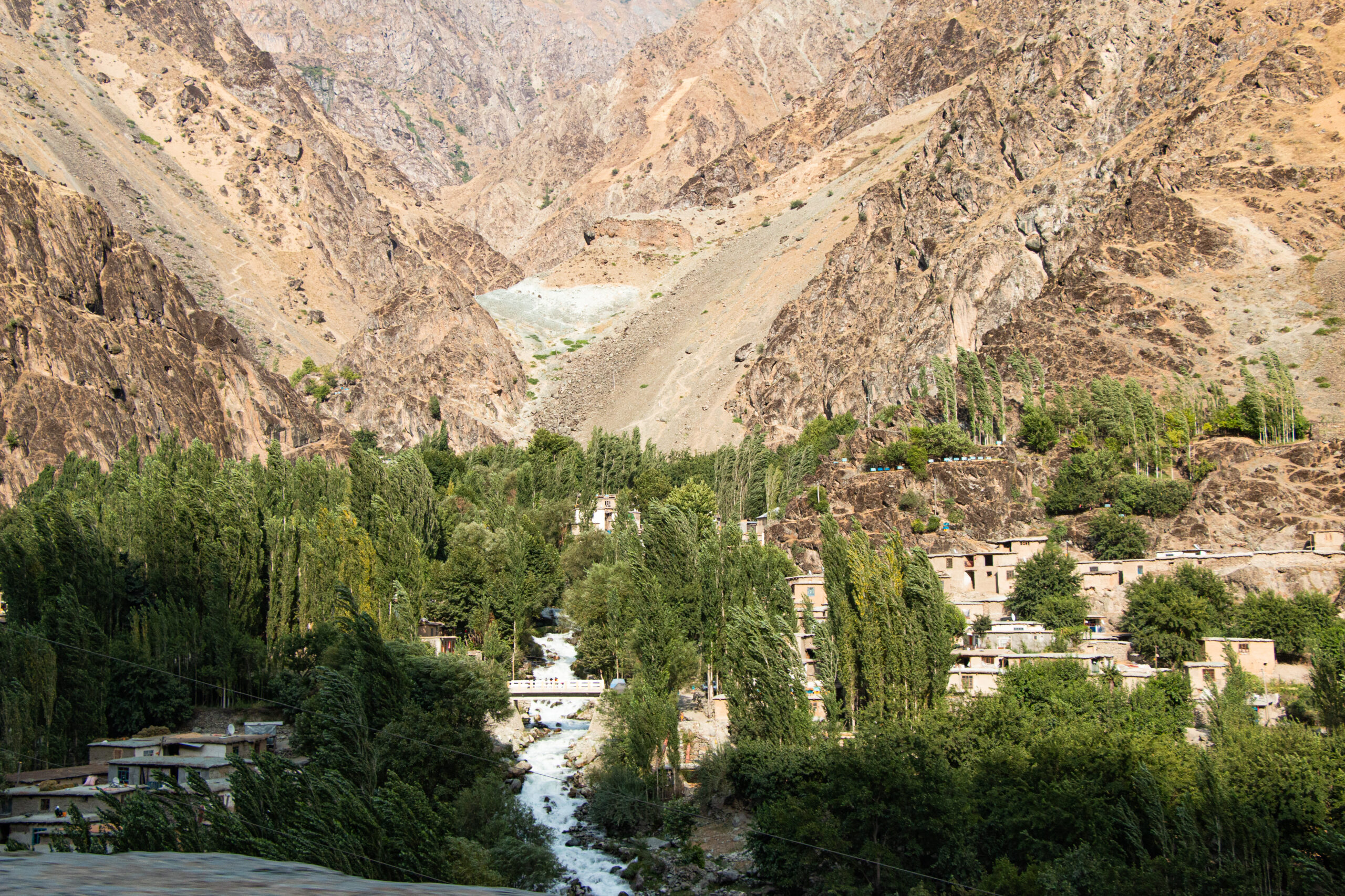
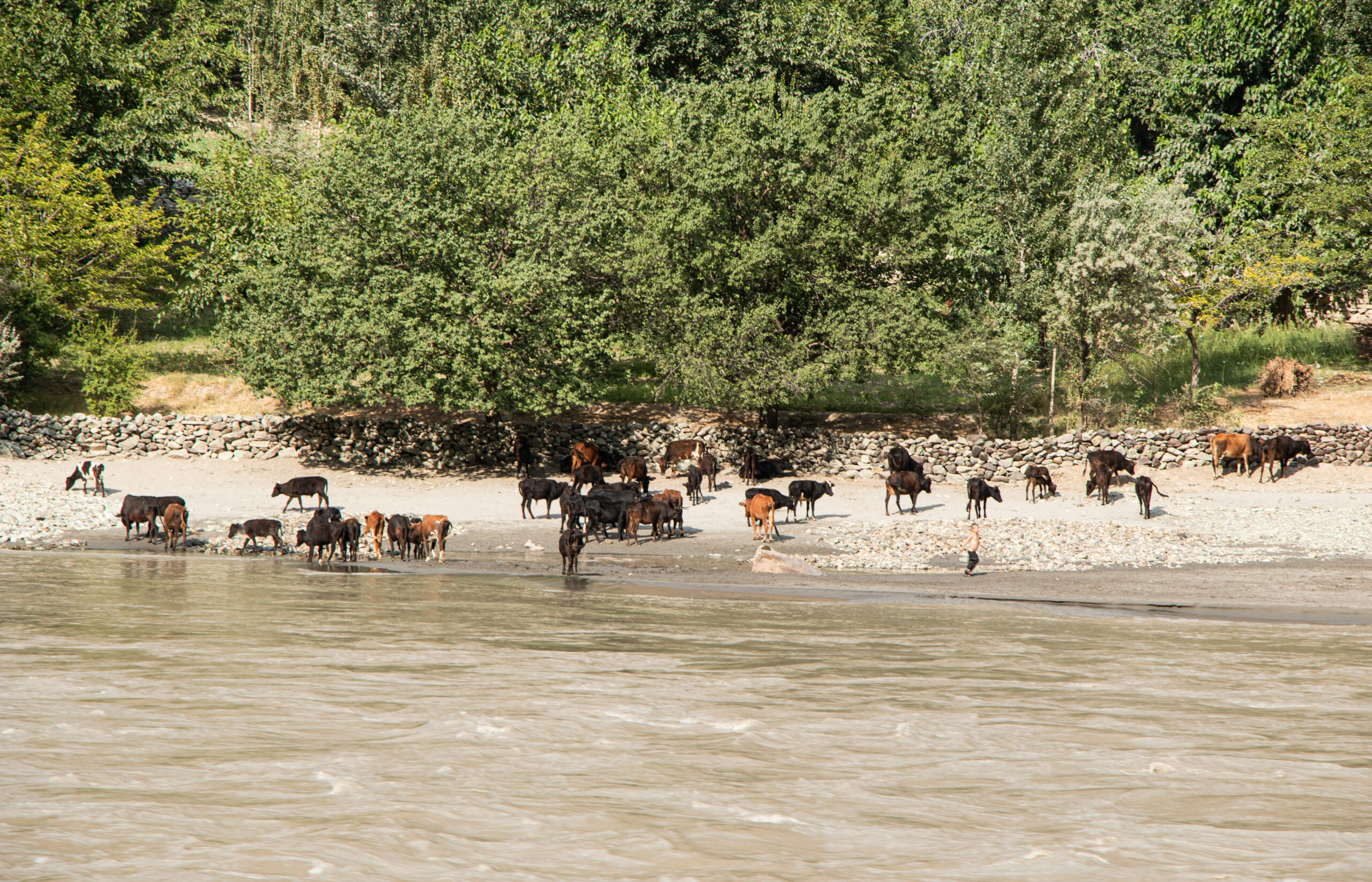
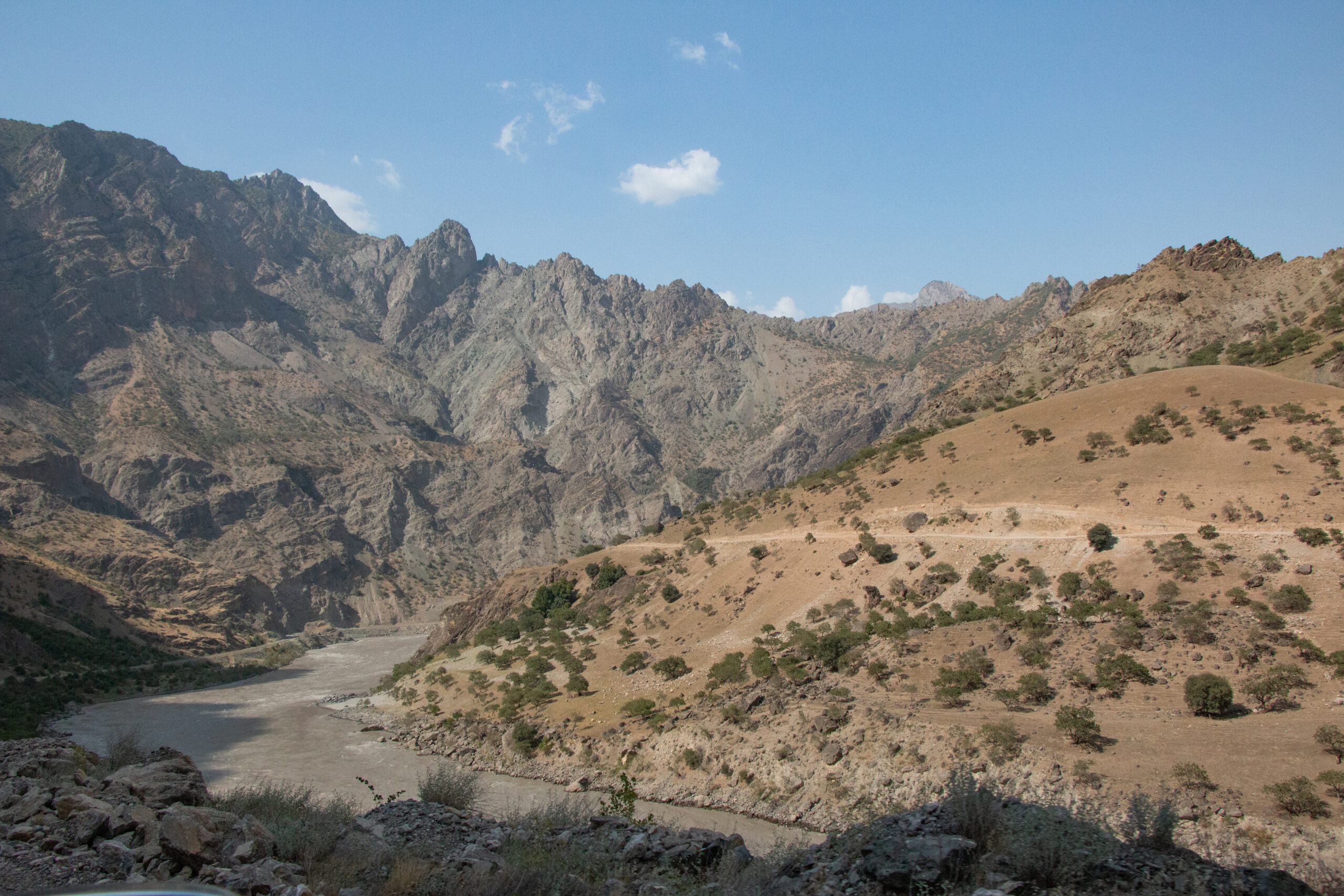
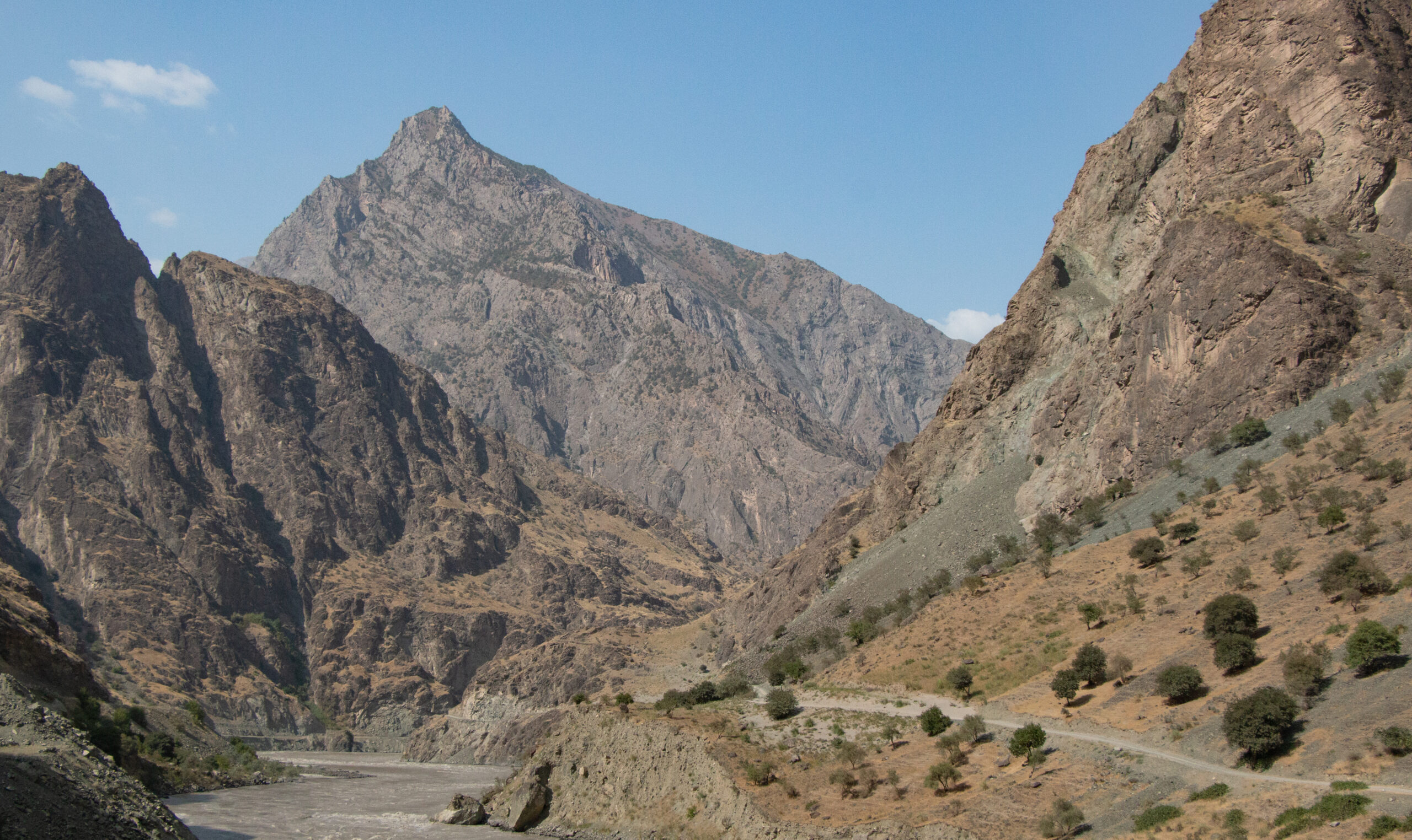
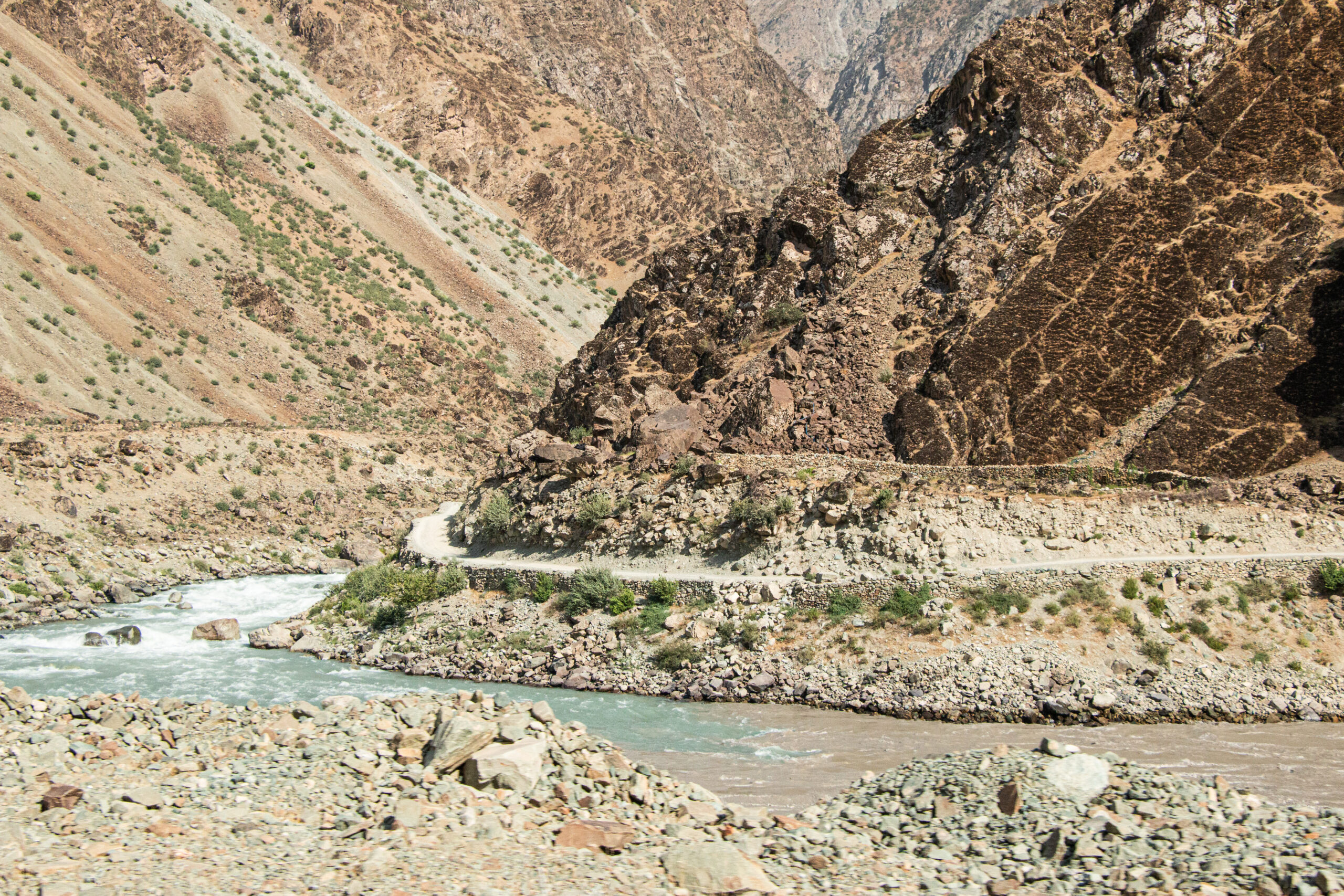
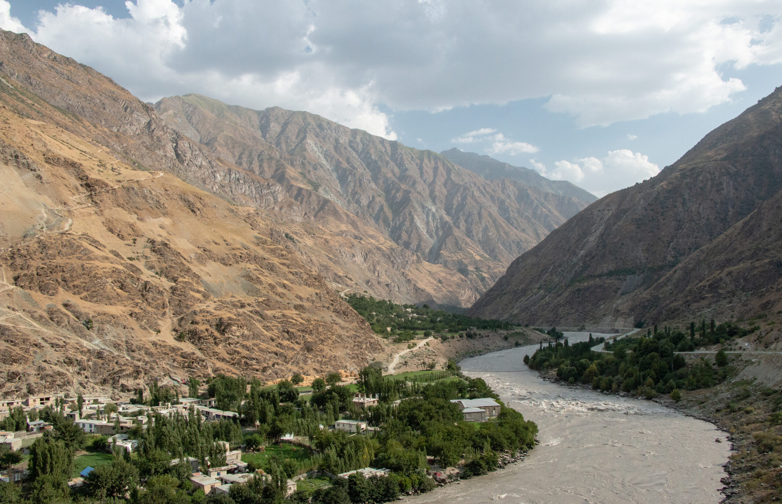
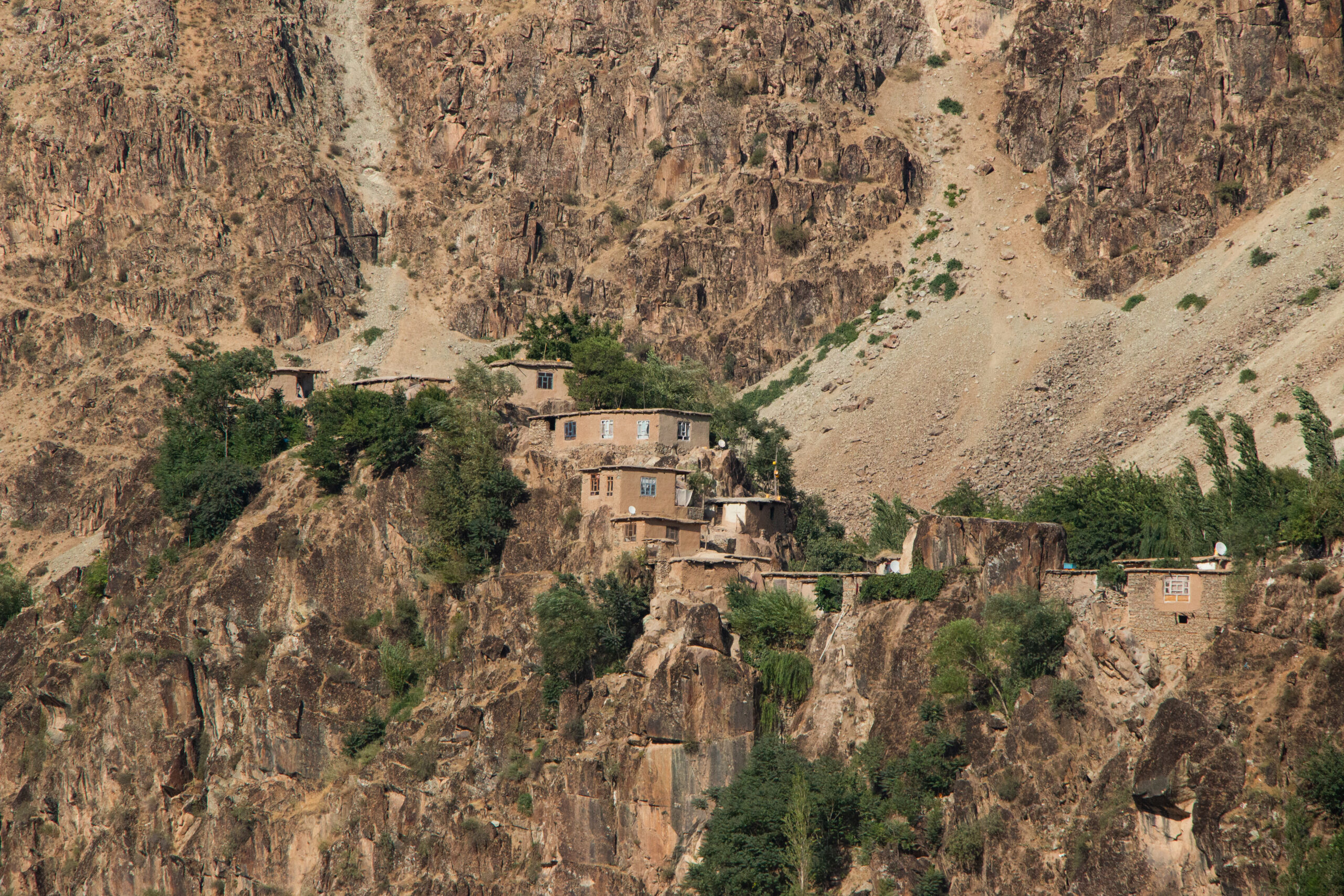
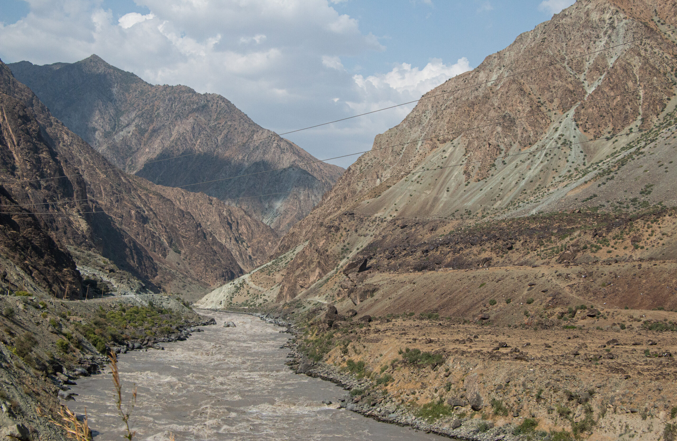
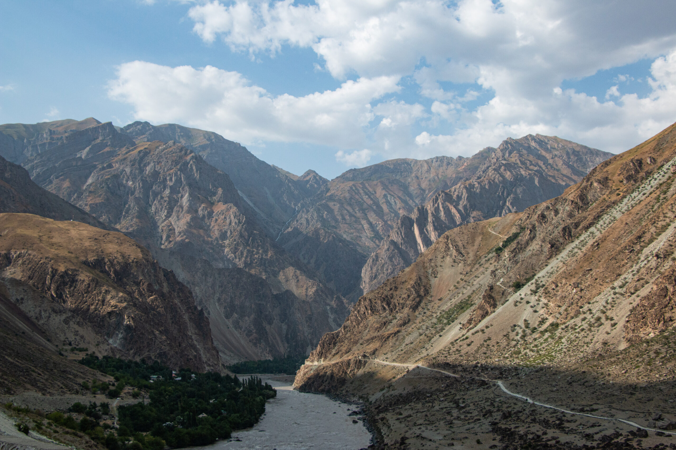
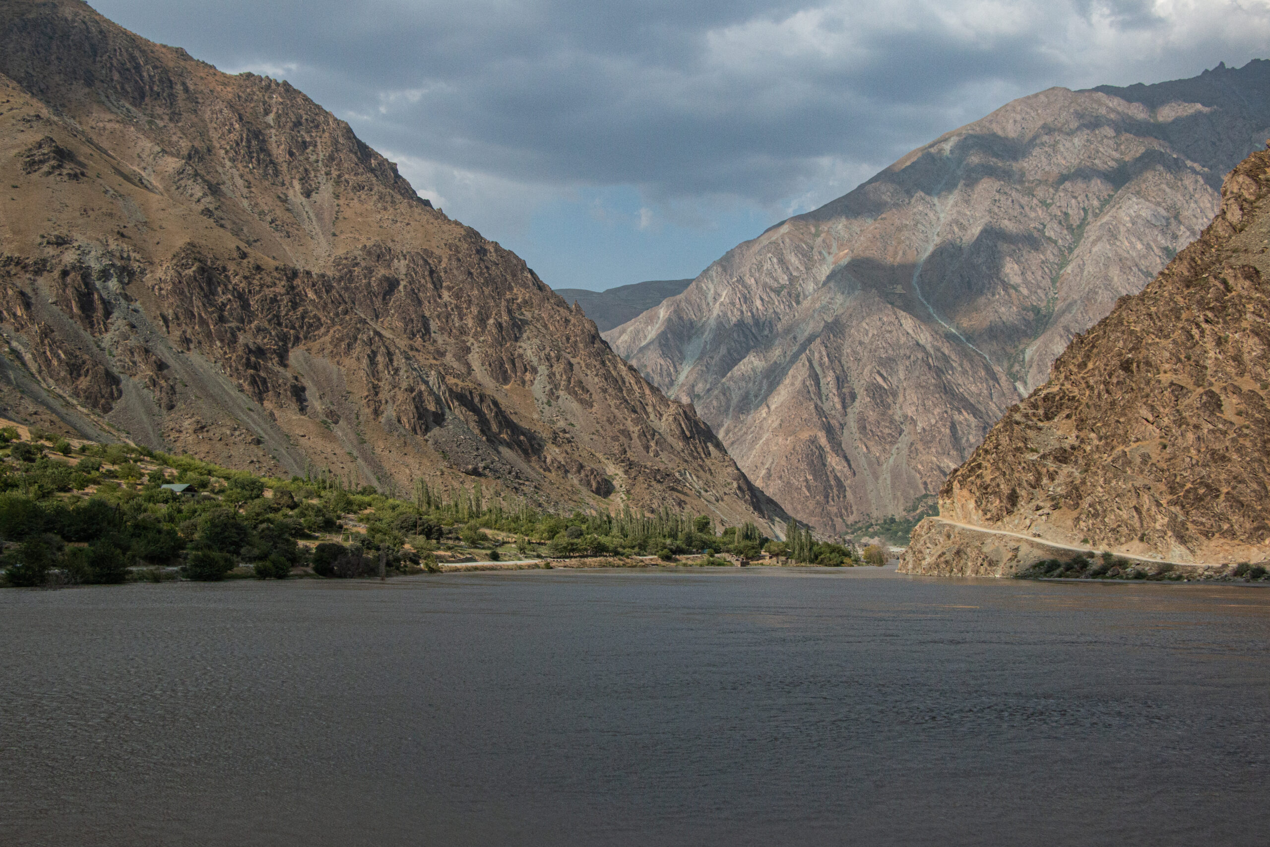
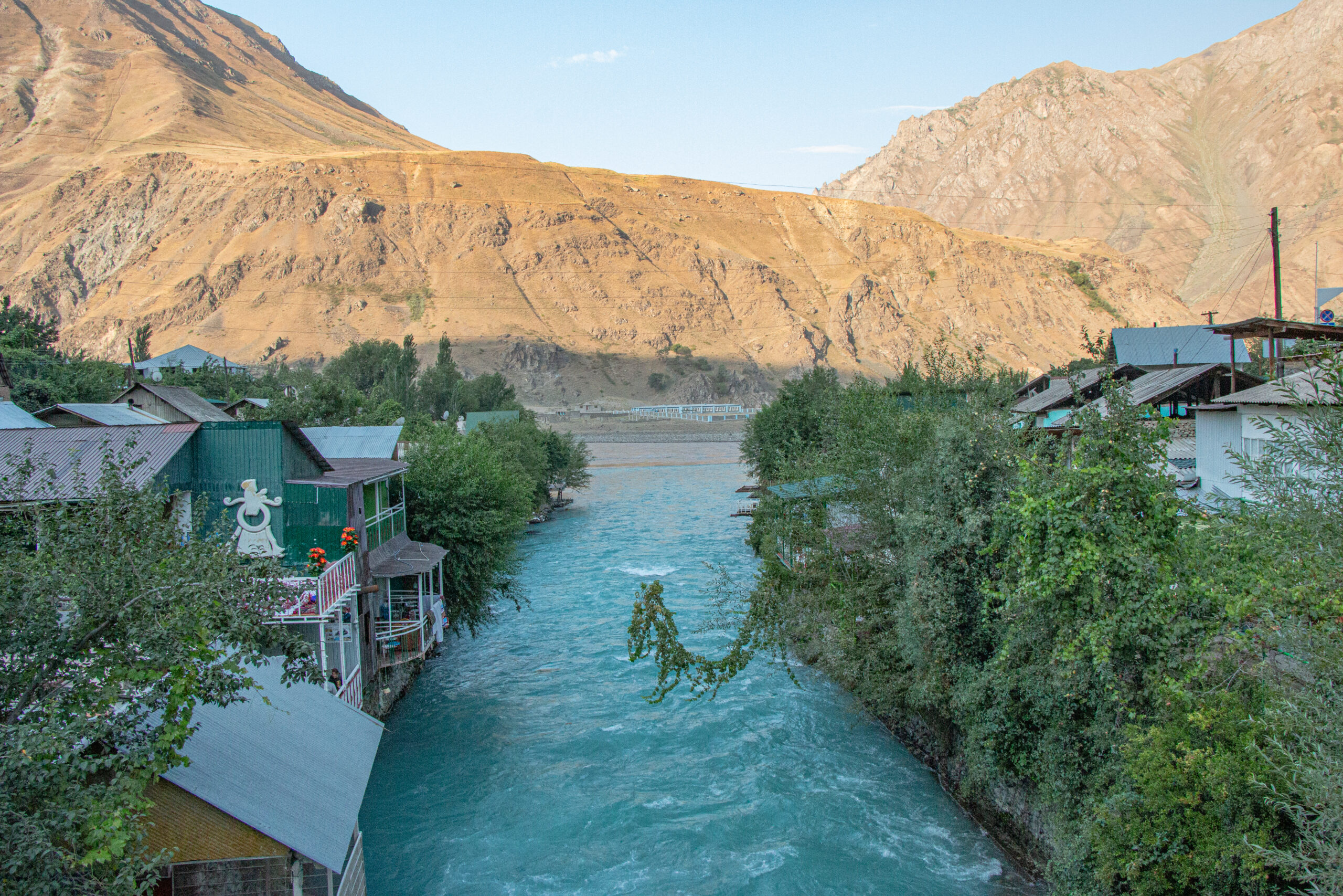
After a long day bombarded with tremendous views, we arrived at the no-less-impressive town of Kalai Khum. The views from restaurant-and-guesthouse balconies over the turbulent river were a highlight of the town. An early night and a very welcome bed awaited!
