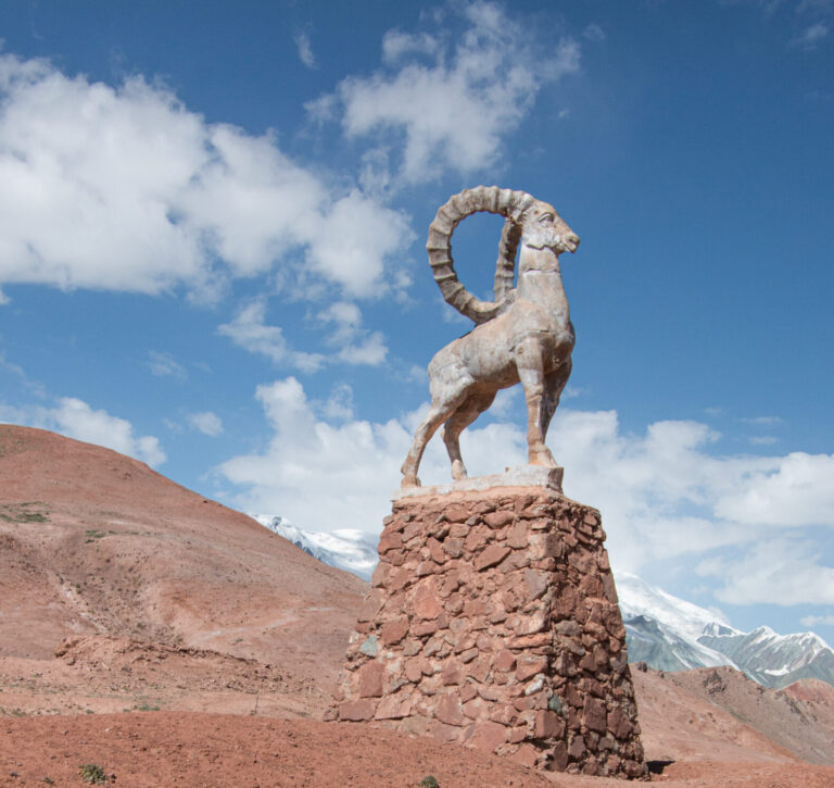
The Pamir Highway – Langar to Karakul
The next couple of days were tough going and all a bit of a haze. Langar sits at 3300 metres and Karakul at just under 4000 metres; normally, I would be able to manage those altitudes. However, I was still battling with an infection and no medicine, so unsurprisingly the effects of altitude sickness kicked in soon after leaving Langar, mostly with headaches and dizziness.
Leaving Behind The Panj River
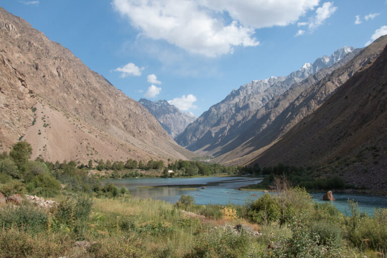
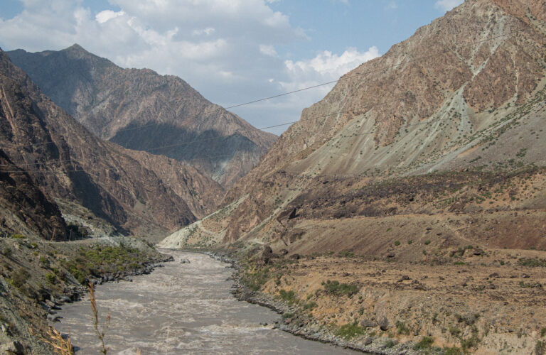
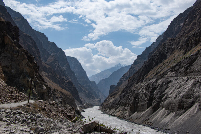
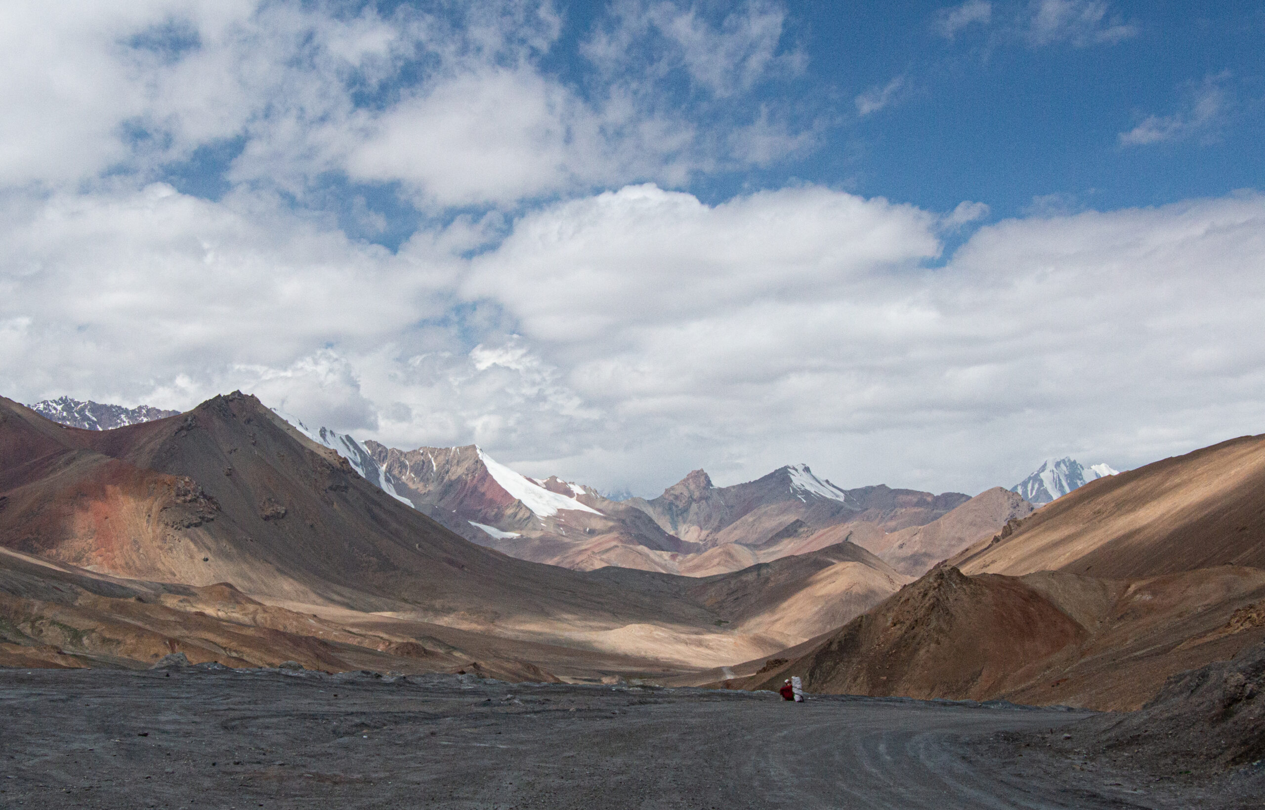
We left Langar and headed north east towards Bulunkul. After a few hours, we parted from the Panj River and the border with Afghanistan which we had been following for six days. The higher altitude and the move from the life-giving Panj River brought high plateau desert scenery. Stark, but still spell binding.
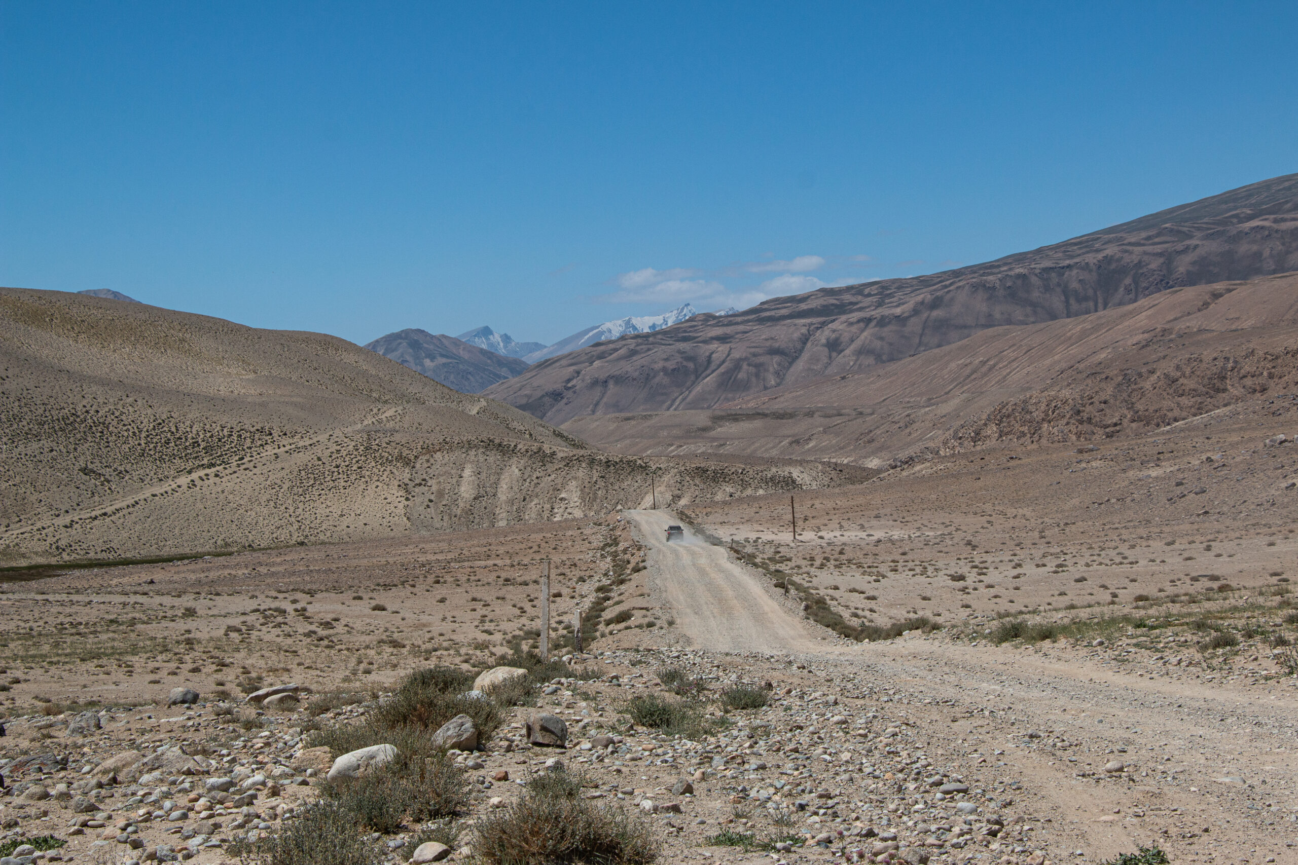
Bulunkul to Murghab
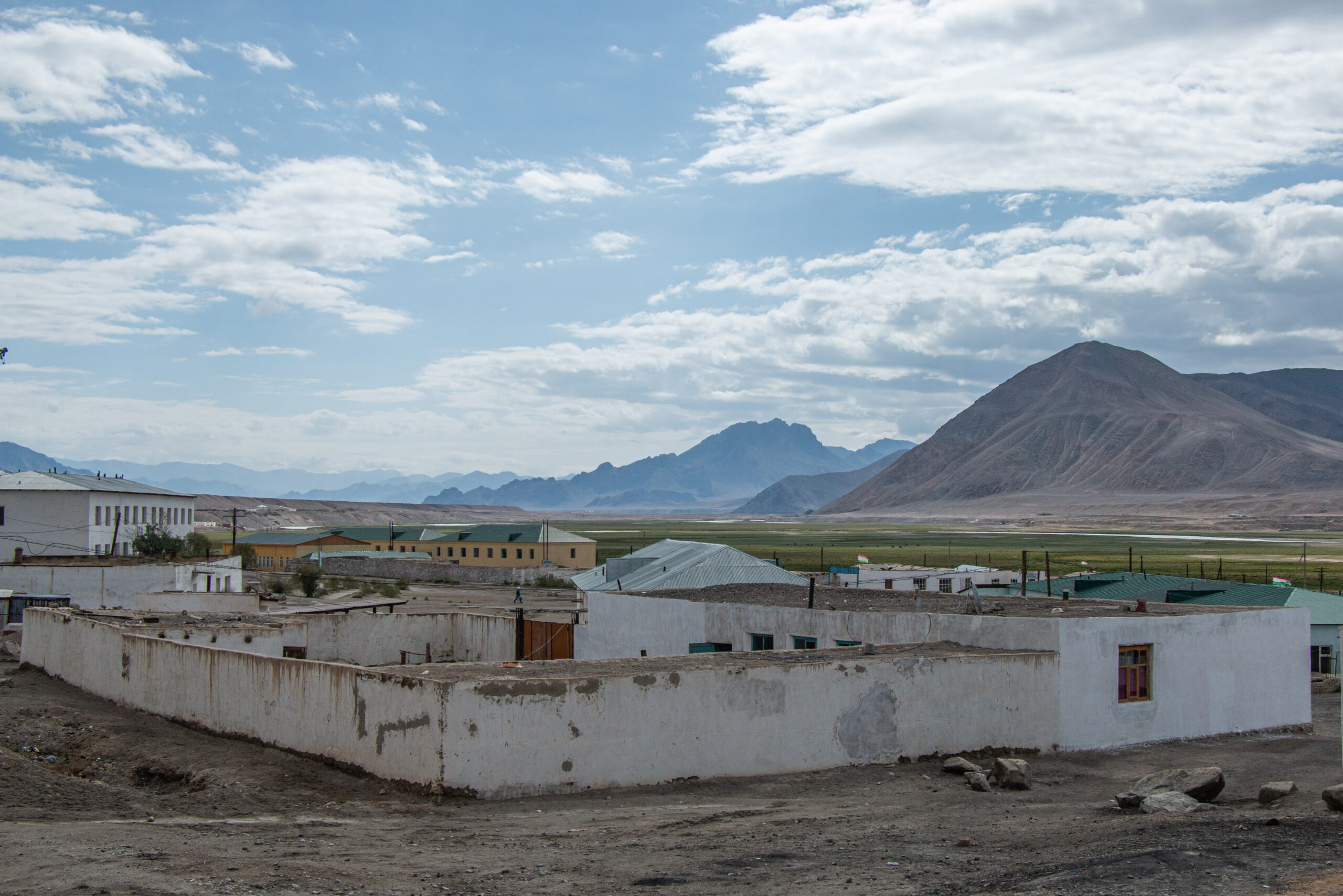
Murghab is a high plateau desert town lying at 3650 metres. It is the main town in East Gorno-Badakhshan and provided a much appreciated opportunity to get something to keep me going from a pharmacy. The homestay in Murghab was a typical walled smallholding. Inside it was open-plan with lots of colourful rugs, cushions and blankets. We were warmly greeted and well looked after.
Marmots
Marmots are large ground squirrels, sometimes known as groundhogs, that are found throughout North America, Asia and Europe. They play a central part in the food and culture of the Pamir region. Marmot stew is often given to people who are unwell. Our driver explained that they also sup marmot oil if they are feeling under the weather. I avoided both!
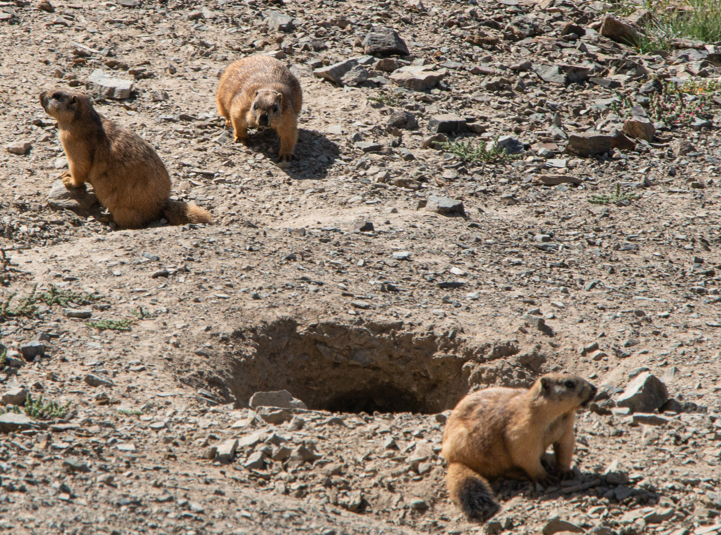
In the last few years, there have been several cases of people dying in neighbouring Asian countries from the bubonic plague after eating an infected marmot (click to see more information).
Murghab to Karakul Lake
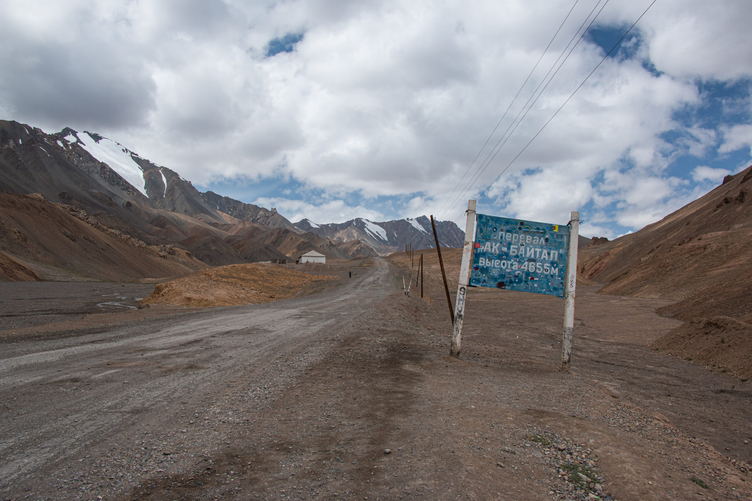
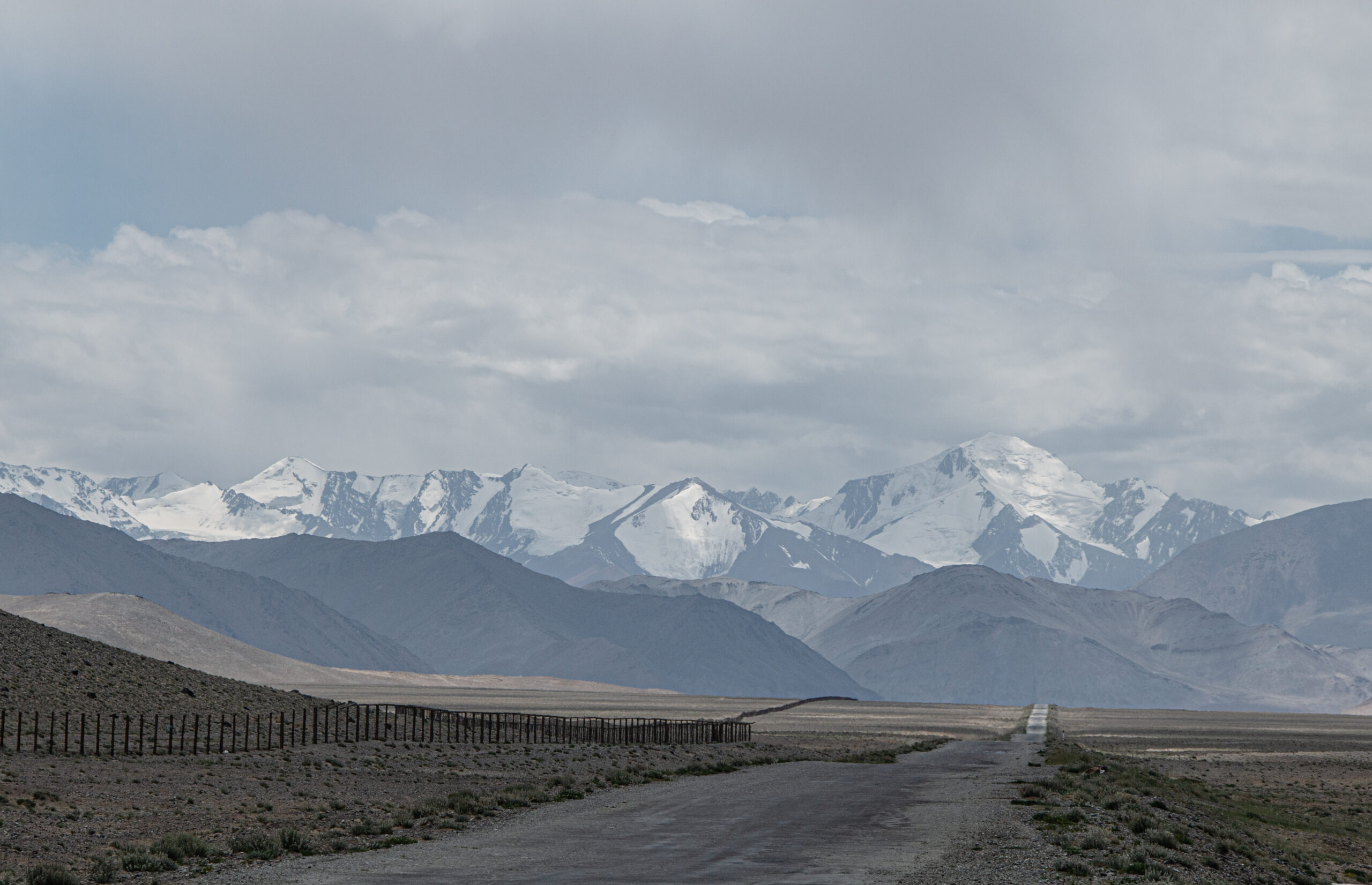
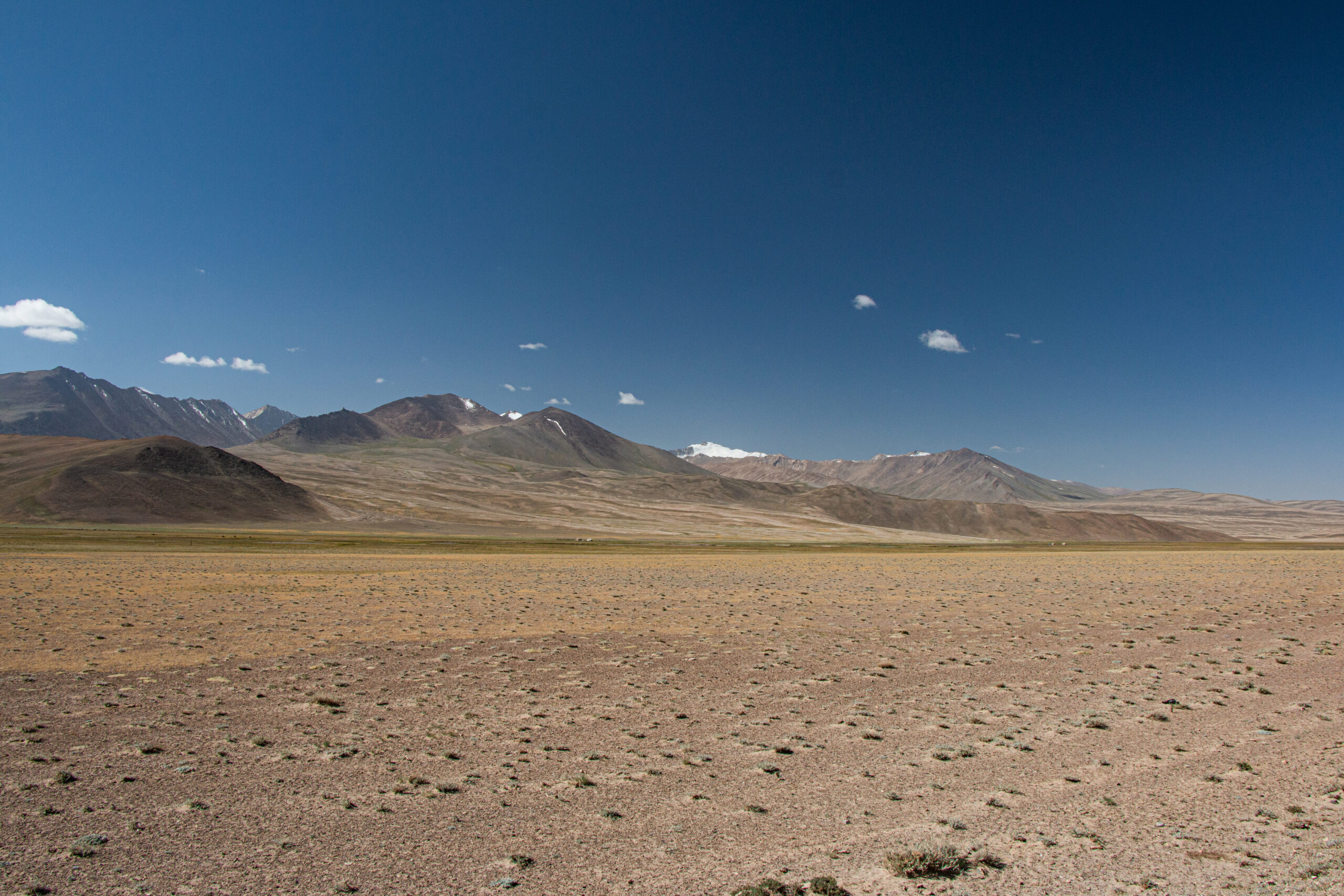
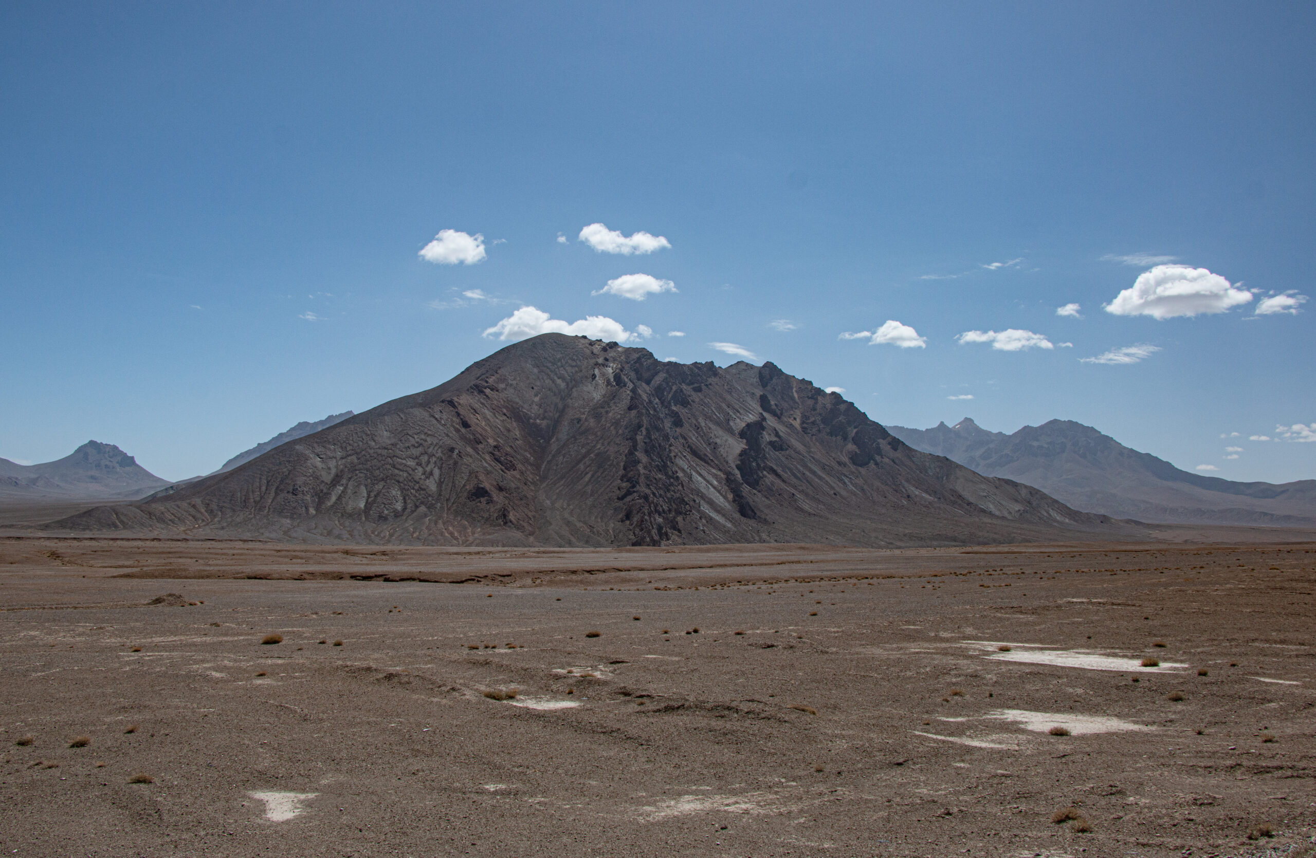
Beyond Murghab the road runs more-or-less parallel to the Chinese border which at points is within a couple of kilometres. This section of the road is as high as it gets, with Baital Pass at 4655 metres. The skies take on the brilliance and intense colour typical of high altitude, and contrast beautifully with the stark scenery and snow-covered peaks.
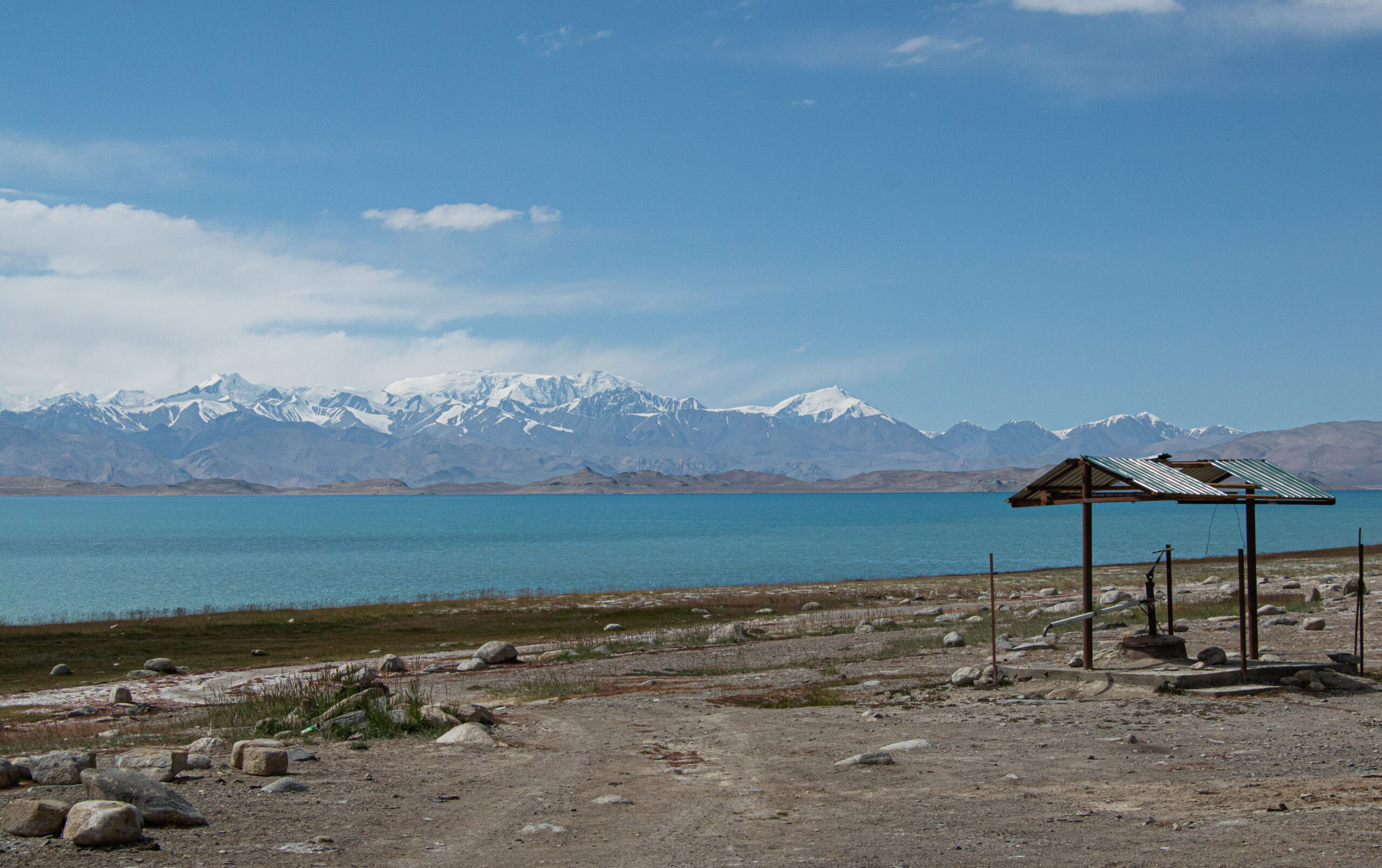
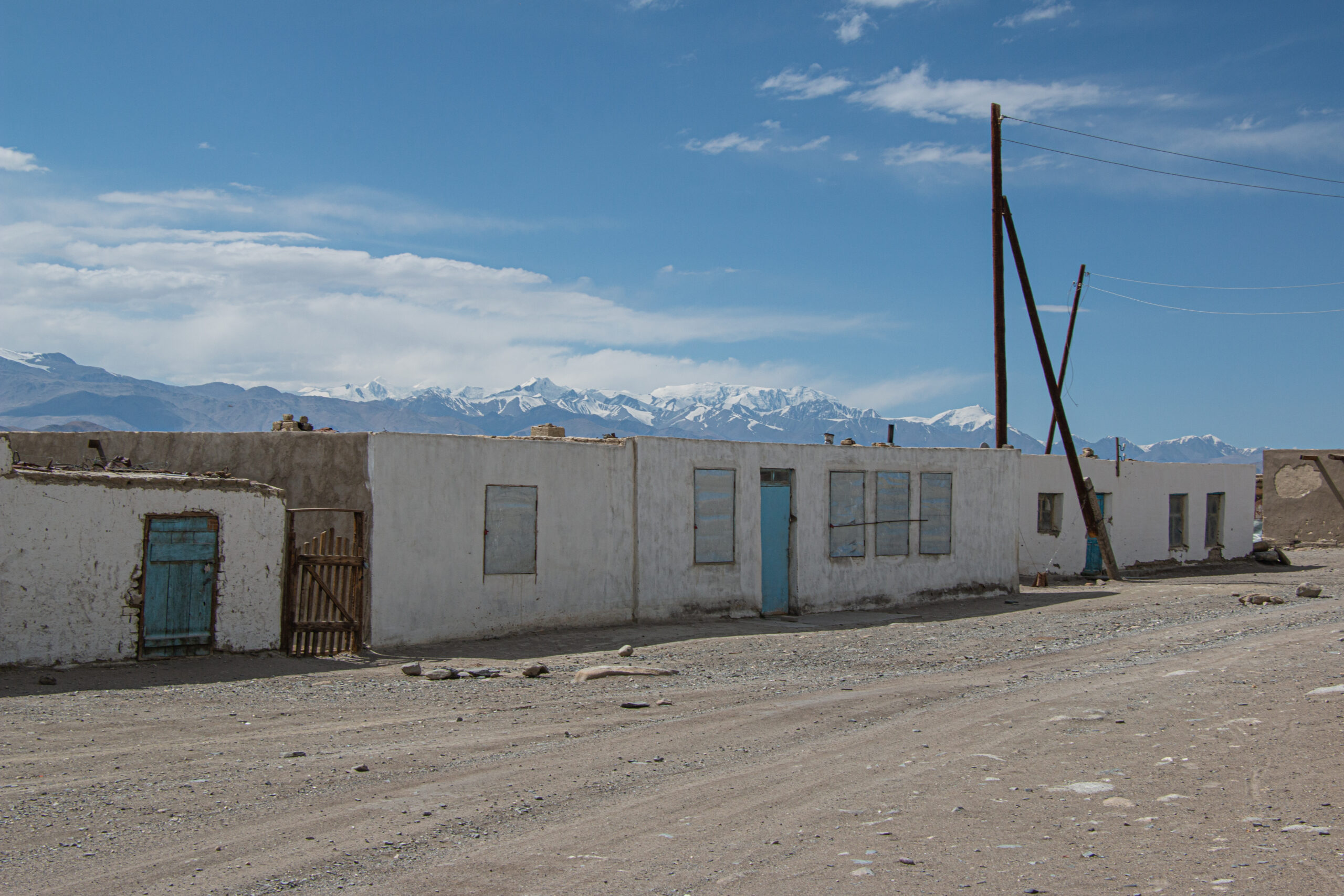
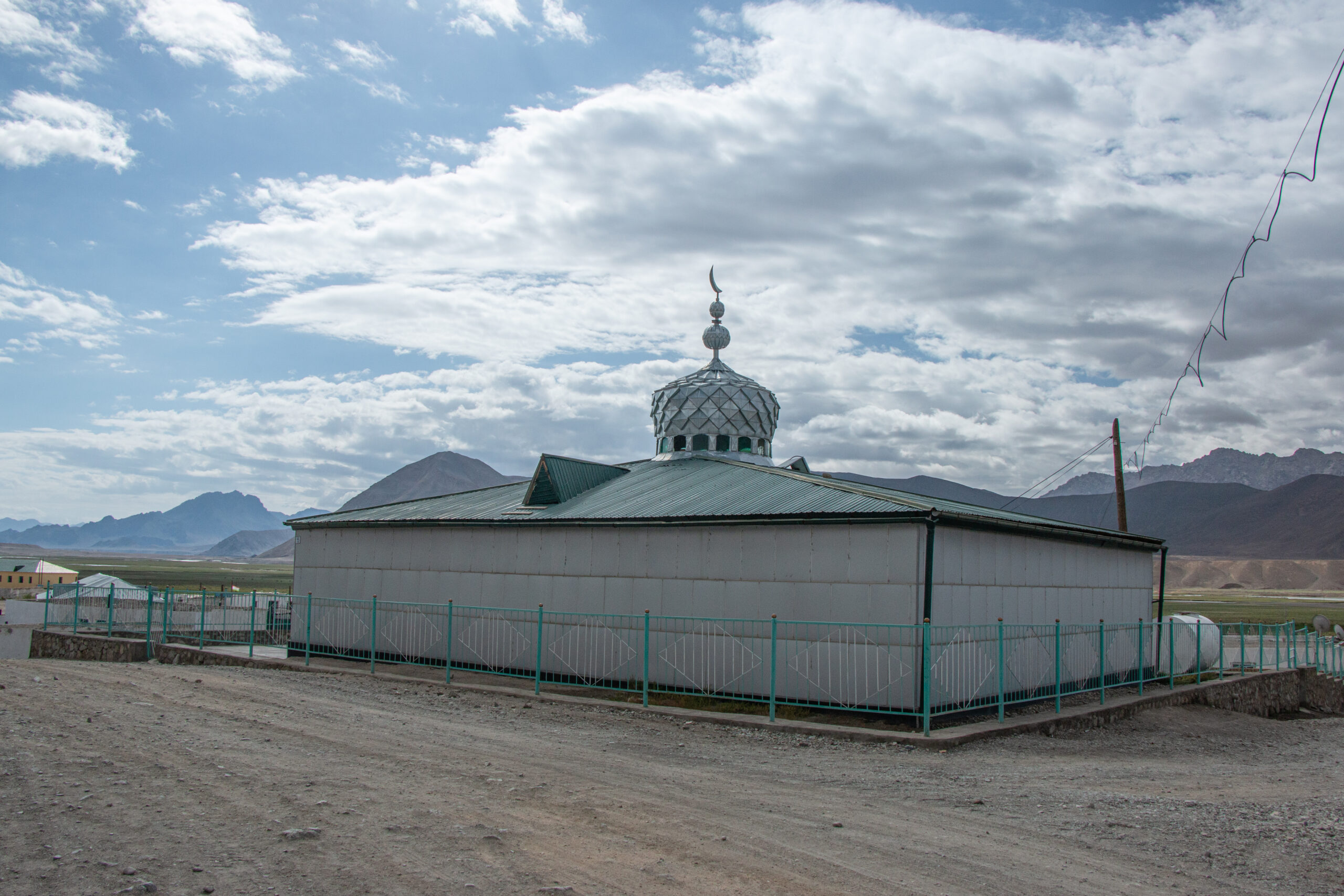
Karakul Lake and village create a striking view. It is remote, facilities are very limited, and the altitude is a challenge. The summers are as extreme as the winters and life here is tough. Nonetheless, the people we stayed with did what they could to make us comfortable.
